8 hr 30 min
Pico do Arieiro to Pico Ruivo Sunrise Hike with Transfer
Self-guided sunrise hike between Madeira's highest peaks, with round-trip transfer included.
Reserve
Hand-picked by our editors — only the best 5 hiking transfers from 40 reviewed.
Verified partners for every tour, free cancellation where available, and instant confirmation on every booking.
8 hr 30 min
Self-guided sunrise hike between Madeira's highest peaks, with round-trip transfer included.
Reserve
10 hr
Round-trip transfer from Funchal for a self-guided sunrise hike across Madeira's highest peaks.
Reserve
8 hr
Self-guided trek across Madeira's tallest peaks with round-trip van transfer from Funchal.
ReservePrices from verified partners. Availability updates in real time at checkout. Free cancellation policies apply where shown.
The landmarks, rooms, and views travelers on this tour remember — all visible on a single visit.
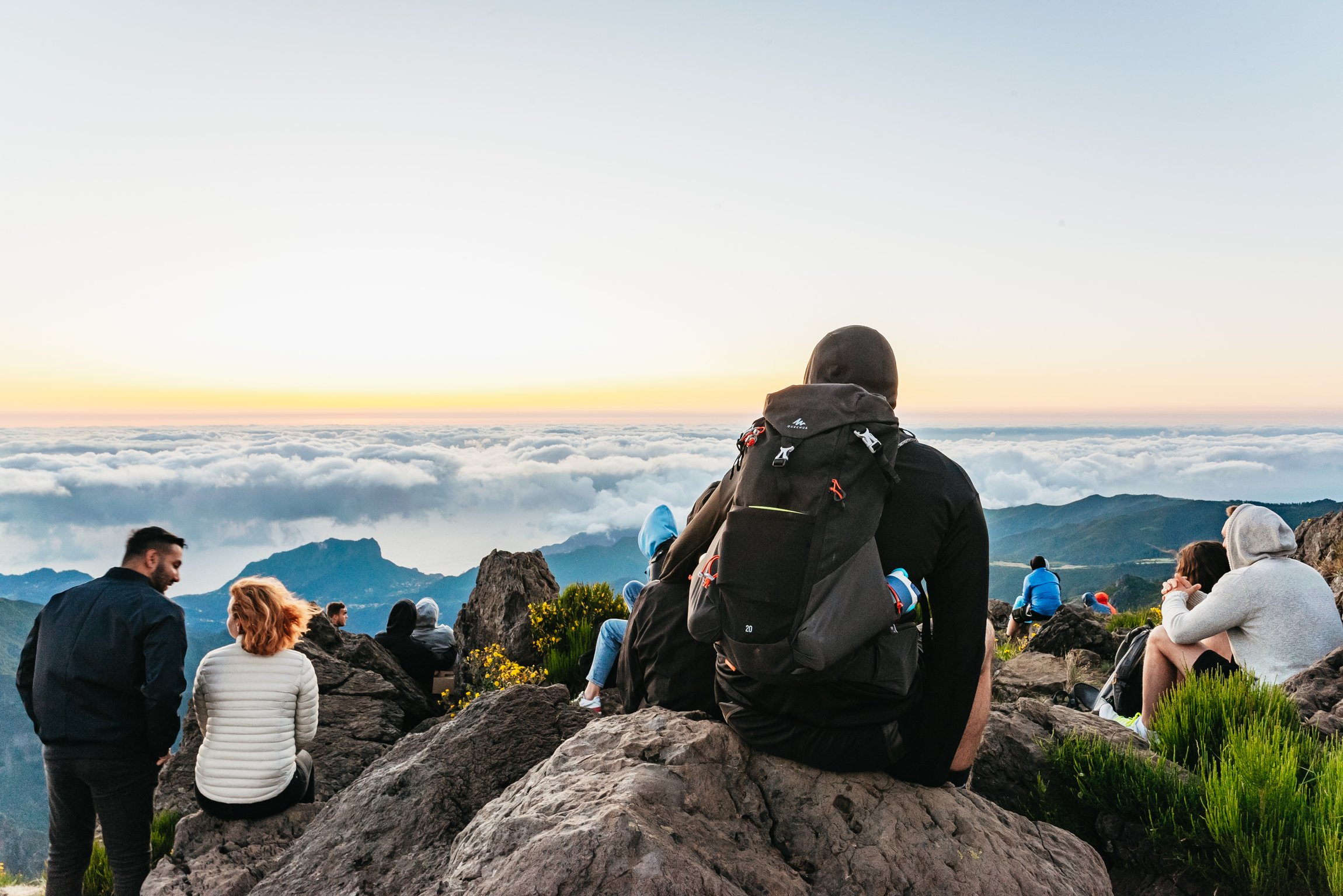
At 1,818 metres, this is one of Madeira’s highest and most visited viewpoints. The summit is famous for sunrise, wide mountain panoramas, and clear-day views toward Ponta de São Lourenço and Porto Santo.
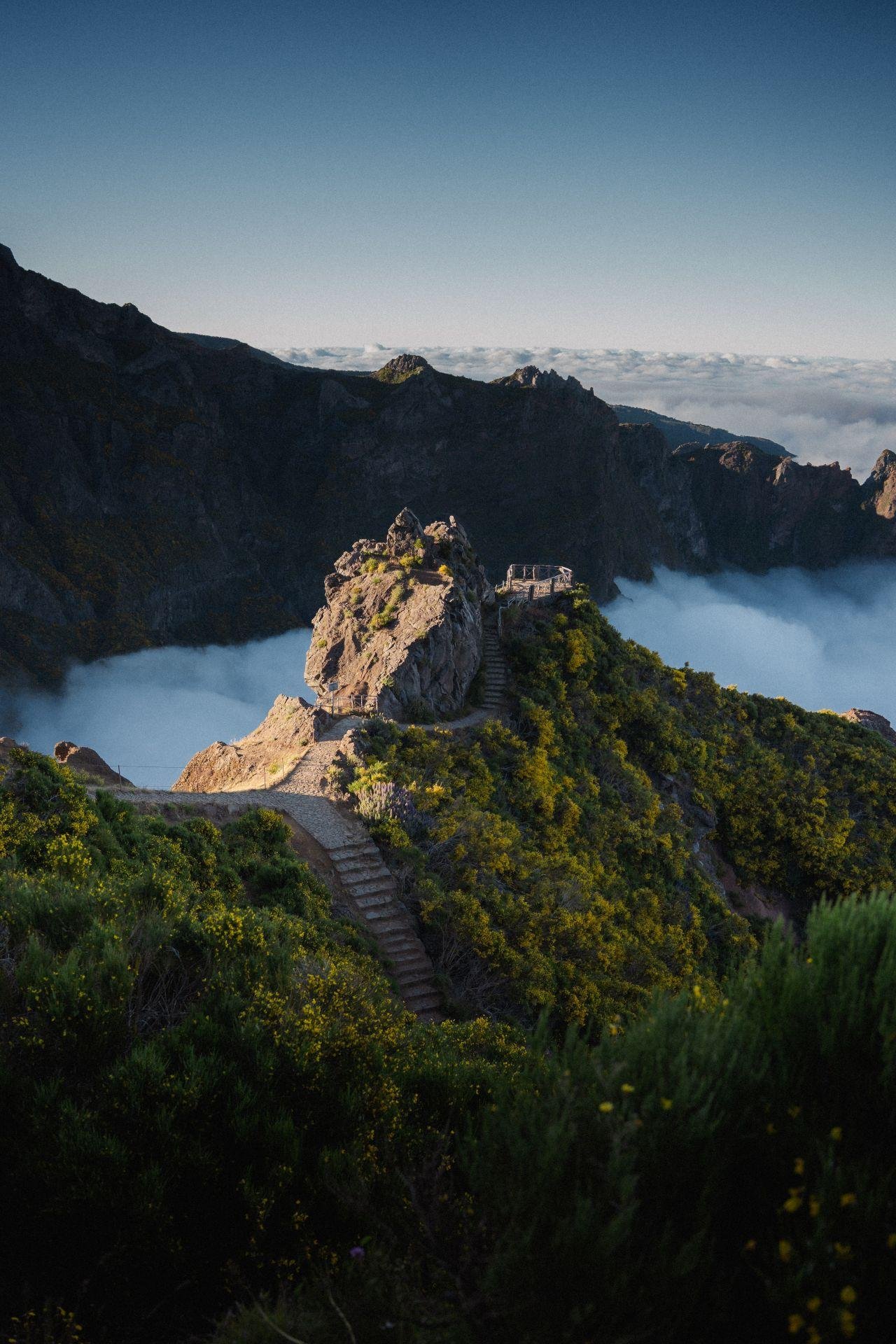
This viewpoint sits just a few metres from the start of PR1 and is an early photo stop on the route. It looks over Madeira’s Central Mountain Range and is linked to the area where the buzzard, puffin, and Zino’s petrel are noted in local interpretation materials.
The official partial-opening notice says the walk is accessible only to Pedra Rija Belvedere, at km 1.2. That makes it the practical turning point for today’s PR1 walk and a key landmark for self-guided hikers.
At 1,851 metres, Pico das Torres is one of the named peaks on the PR1 line and marks the central volcanic drama of the route. The ridge context helps explain why the trail is classed as a demanding mountain hike rather than a simple viewpoint walk.
At 1,862 metres, Pico Ruivo is the highest peak in Madeira and the archipelago. The official trail description identifies it as the end point of PR1, and nearby shelter access makes it the symbolic finish of the classic ridge crossing.
The official trail text describes this shelter as the major final challenge before the summit area. It also serves as an access node for other marked routes, making it an important waypoint for hikers who continue beyond the PR1 section.
They complement each other, but the classic high-mountain PR1 route is the more dramatic and more demanding sunrise choice for a self-guided transfer day. pr1 sunrise pico do arieiro self guided hiking transfer tours suit hikers who want ridgelines, tunnels, and summit terrain, while Ponta de São Lourenço is the easier coastal alternative.
| Feature | Top pick PR1 Pico do Areeiro | Ponta de São Lourenço |
|---|---|---|
Scenery type |
High mountain ridgelines | Coastal peninsula, ocean views |
Terrain and exposure |
Tunnels, steep stairs, cliff paths | Open ridges, exposed headlands |
Effort and footing |
Moderate; 3:30 hours | Moderate; 2:30 hours |
Weather sensitivity |
Higher; mountain weather shifts fast | Higher; strong winds on peninsula |
Transfer logistics |
Best for fixed transfer to Areeiro | Best for east-coast transfer day |
Typical visitor fit |
Hikers wanting summit drama | Hikers wanting shorter coastal walk |
| See tickets → |
Verdict: If you want the more memorable self-guided hike, choose PR1; if you want a shorter, windier, easier coastal outing, choose Ponta de São Lourenço.
Choose your ticket, select your date, and reserve in under two minutes. Secure checkout handled by our verified partner.
Instant confirmation by email, with a mobile voucher you can save offline. No printing, no queuing at a collection desk.
Arrive at the entrance, show your voucher on your phone, and walk in. Most tickets include priority or skip-the-line access.
Practical details for your visit straight from our verified partners — hours, access, rules, and how to get there.
Wear sturdy hiking shoes with grip, because the PR1 route includes steep sections, tunnels, and exposed mountain footing. Bring a windproof layer even in summer; Pico do Areeiro sits at 1,818 m and can feel much colder than the coast.
Carry a small daypack only. The mountain road, parking, and trailhead are busy around sunrise, so keep valuables zipped away and your reservation confirmation accessible on your phone or printed copy.
Photography is one of the main reasons people visit Pico do Areeiro, especially for sunrise and wide-angle mountain views. Drones and tripods should only be used if they do not obstruct the path or other walkers, and you should stay clear of edge sections and narrow tunnels while shooting.
PR1 is not an accessible route for wheelchairs or strollers because it uses mountain steps, tunnels, and steep gradients. The viewpoint area at Pico do Areeiro is easier to reach than the hiking section, but the trail itself is rugged and high-altitude.
Mobile coverage in the mountains can be limited, so download your reservation before departure. A charged phone is useful for the SIMplifica booking, trail check, maps, and emergency calls.
Families with older children can do the early section to Pedra Rija if everyone is confident on mountain paths. The route is not suitable for very young children in pushchairs, and the weather can shift fast at 1,818 m.
There is no guarantee of food services on the hiking section, so bring water and snacks for the trail. Plan a meal before or after your visit rather than relying on the mountain trailhead for catering.
Pets are not a good fit for this mountain hike because of tunnels, steep drop-offs, and heavy foot traffic at the start point. If you travel with a dog, keep it on a short leash and confirm current trail rules before you go.
The official trail status must be checked before you start, because PR1 can change between open, restricted, and closed states. The trail is currently described by Visit Madeira as partially open, with access only between Pico do Areeiro and Pedra Rija Belvedere (km 1.2).
Best time to go, insider tips, nearby landmarks, and the cancellation fine print — flip through to skim what matters to you.
Flexible, no hidden fees.
Bookings for classified PR trails are tied to the SIMplifica reservation and are subject to the trail rules in force on the day of your hike. The official fee for this trail is 10.5 EUR per person, so any refund or change should follow the reservation terms attached to that payment.
Pico do Arieiro is the third-highest point on Madeira, yet the road climbs to within a few metres of its 1,818-metre summit — a rare case where the hardest ground begins where the driving ends. The PR1 trail, officially the Vereda do Areeiro, runs from that summit to Pico Ruivo at 1,862 metres, the island's highest peak, which no road reaches at all. The route was not built for leisure. Sections of the paved path were cut by hand in the twentieth century, following older shepherd lines across the ridge, and the tunnels bored through the rock were driven to bypass slopes too unstable to traverse in the open. Three tunnels remain in regular use, unlit, which is why headlamps are treated as trail equipment rather than an accessory. The 2024 rockfall repairs restored the western variant, and as of 2026 both the Ninho da Manta approach and the tunnel alternative carry walkers along the same spine. A pr1 sunrise pico do arieiro self guided hiking transfer exists because the trailhead sits an hour above Funchal on switchbacks few visitors want to drive in darkness. What makes the ridge matter is meteorological rather than merely scenic. Madeira's trade winds push a stratocumulus layer against the northern slopes, and above roughly 1,500 metres walkers frequently stand clear of it. The result is the mar de nuvens — a sea of clouds — visible from the exposed sections between Pedra Rija and Pico das Torres. Endemic laurel and Madeiran heather cling to the crumbling basalt; the Zino's petrel, one of Europe's rarest seabirds, nests in burrows on these very slopes, which is why the surrounding Parque Natural da Madeira restricts access to marked paths. The geology is volcanic and young by continental standards. Layered basalt flows, red scoria bands and eroded dykes are legible in cross-section along the cut walls of the path, a vertical archive of eruptions that built the island. Guided and self-guided pr1 sunrise pico do arieiro self guided hiking transfer tours have made this archive reachable to walkers who once needed two vehicles and a friend willing to reposition one. The trail itself has changed little. The access has changed entirely, and with it the number of people who see the first light strike Pico Ruivo's eastern face.
"Above 1,500 metres the island disappears beneath its own weather, and the ridge becomes a coastline."
A step-by-step walkthrough of the visit — what you'll see, how long each stage takes, and the details that matter.
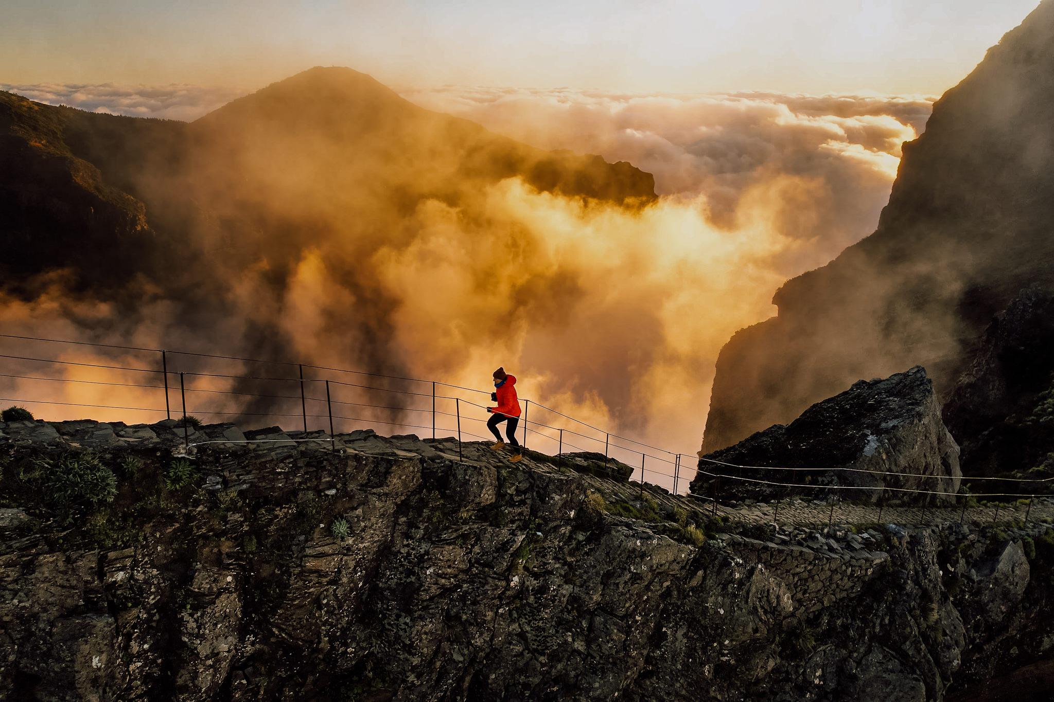
You are collected in darkness, usually between 04:00 and 05:00 depending on the season, and the van climbs the ER202 through Poiso in a series of tight switchbacks. You step out at the Arieiro car park into wind and roughly 8°C, even in August. You fix your headlamp, take the stone steps past the radar dome, and start down. The first kilometre drops fast on paved treads. You pause at Ninho da Manta, the buzzard's nest viewpoint, where the ridge falls away on both sides and the cloud layer sits below you like packed snow. Light arrives sideways here, not overhead. You keep moving through the first tunnel, hand on the damp rock wall, then climb the exposed staircase toward Pico das Torres — the section that convinces most walkers the pr1 sunrise pico do arieiro self guided hiking transfer was the right call, since nobody wants to drive back from here. At Casa de Abrigo do Pico Ruivo you refill water and eat whatever you carried. The final push to the 1,862-metre summit takes twenty minutes on switchbacks. Then you descend to Achada do Teixeira, where your driver waits. On the transfer tour back, most people sleep. The trail entrance fee is 10.5 EUR per person, collected at the trailhead.
The site is open daily from 08:00 to 23:59. For trail access, the official booking and fee rules still apply before you start hiking.
Visit Madeira currently lists PR1 as partially open, with the accessible section running only from Pico do Areeiro to Pedra Rija Belvedere (km 1.2). Check the trail status again before departure because mountain conditions can change.
The official fee is 10.5 EUR per person. That price applies to the trail access described on the official page, and residents of Madeira may have exemption rules under the general hiking policy.
Yes. All classified PR trails in Madeira require a prior reservation through SIMplifica, and payment is made in advance. Entering without a valid reservation is treated as an infraction.
The best arrival window is 08:00–10:00, which gives you better light and fewer crowds. Arriving within that window also fits the official opening time and avoids pushing your start before the site opens.
PR1 is a moderate mountain hike with steep slopes, tunnels, and high-altitude footing. The full trail is listed at 7 km and about 3:30 hours on the official page, but the accessible section is currently shorter because of partial closure.
Wear hiking shoes with grip and a windproof layer. Even in warm months, Pico do Areeiro is at 1,818 m and can be much cooler and windier than the coast.
Bring water, snacks, and a small daypack, because the mountain section is not a place to rely on food service. Keep your reservation confirmation handy on your phone or as a printed copy because coverage can be limited uphill.
Older children who are steady on steep paths may manage the accessible section, but this is not a stroller-friendly family outing. The terrain, tunnels, and exposure make it unsuitable for very young children.
Yes. Pico do Areeiro itself has views toward Ponta de São Lourenço, Curral das Freiras, and, on clear days, Porto Santo. For another hike, the nearby Pico Ruivo area is linked by PR1 and PR1.2 route connections, though current trail status must be checked first.
The official page notes parking and shuttle access at Pico do Areeiro, and the tourism board also lists the visit as reachable by transfer. Parking information is posted on the official site, while road and mountain access should be checked before you set out.